|
Virtual Tour of the
Trans-Taiga Road
Page 3 of 10
Previous
Next
|
| |
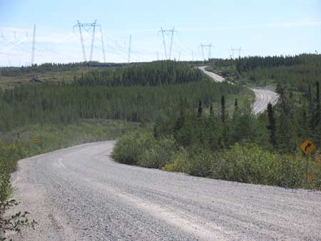 |
Km 104 |
|
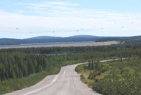 |
Km 110
A nice view of one of the dams (or more properly called
a "levee", since it doesn't block the main flow of a
river). Cookish Bay of the Robert Bourassa Reservoir
is also visible here, and from time to time for the next
while. |
|
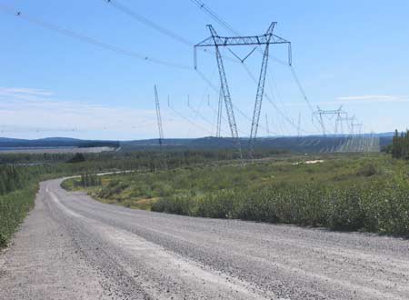 |
Km 110 Some of
the transmission lines leading from the generating
stations upstream (to the east). |
|
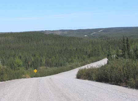 |
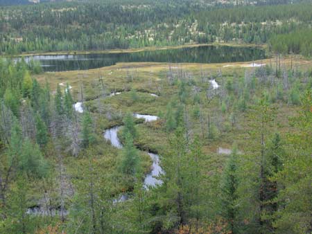
Km 144 Some hills - at last the scenery is picking up! |
|
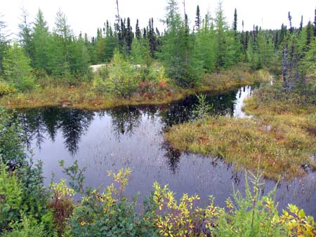 |
Km 166 A nice
little pond by the side of the road.
It's good to stop from time to time and get out and
look around. Turn off your vehicle's engine and listen
to the silence! |
|
|
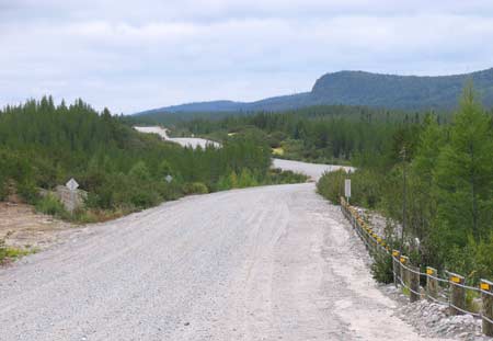
Km 170-180:
The Road runs along atop an esker. As a result it is narrower,
winding and rougher. Nice views along here. |
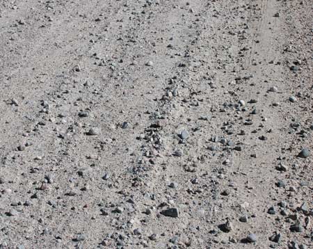 |
Km 171 Typical
road surface along here. The larger stones can cause
tire blowouts. |
|
 |
Km 173
This is the section of the road that runs along top of
an esker for about 10 kms.
An esker is the gravel bed of a river that ran along
inside a glacier during the ice age. |
|
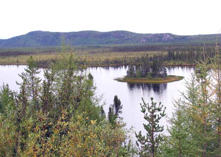 |
Km 177 Nice views
along the top of the esker. |
|
 |
Km 177 And still
on the esker... |
|
 |
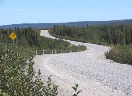
Km 177 More
hills. Note the road is narrower along here, and
rougher. |
|
| |
|
Previous
Next |
|
|

